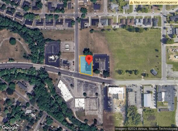
Property Record
Stuckhardt Rd, Dayton, OH 45426

NEARBY LISTINGS FOR SALE OR LEASE
Property Detail
Stuckhardt Rd
H33-00101-0030
5-4-15
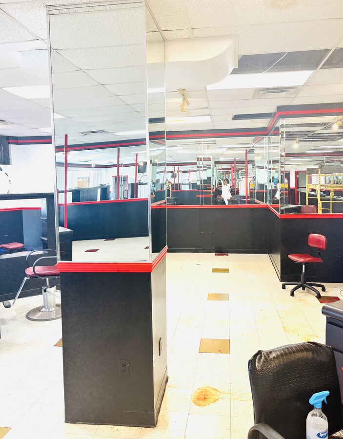
Storebuilding
Montgomery
X
Ohio
39113C0141E
30
2023
0.50 AC
2024
West Dayton
070500
Cincinnati/Dayton
6,348 SF
Dayton, OH
DEMOGRAPHICS near Stuckhardt Rd
1 Mile
3 Mile
5 Mile
2024 Total Population
4,946
31,277
107,477
2029 Population
4,916
31,251
108,256
Pop Growth 2024-2029
(0.61%)
(0.08%)
+ 0.72%
Average Age
42
41
41
2024 Total Households
2,132
13,853
46,273
HH Growth 2024-2029
(0.61%)
(0.13%)
+ 0.67%
Median Household Inc
$45,987
$39,994
$42,721
Avg Household Size
2.30
2.20
2.20
2024 Avg HH Vehicles
2.00
2.00
2.00
Median Home Value
$91,618
$95,444
$104,002
Median Year Built
1961
1963
1960
Nearby Places
- Restaurants
- Banks
- Shops
- Fitness
- Groceries
PUBLIC TRANSPORTATION
AIRPORT
James M Cox Dayton International
DRIVE
WALK
Distance
James M Cox Dayton International
21 min
11.4 mi
Freight Ports
Port of Toledo
DRIVE
WALK
Distance
Port of Toledo
183 min
155.7 mi
SALE & LEASE HISTORY
LISTING DATE
SALE/LEASE

May 15, 2017
For Lease
Apr 16, 2023
For Sale
Apr 04, 2019
For Sale
Nearby Properties
Address
Land Use
TOTAL SIZE
Lot Size
Zoning
Address
Land Use
TOTAL SIZE
Lot Size
Zoning
146.18 AC
Address
Land Use
TOTAL SIZE
Lot Size
Zoning
20.16 AC
Address
Land Use
TOTAL SIZE
Lot Size
Zoning
558,933 SF
19.55 AC
Address
Land Use
TOTAL SIZE
Lot Size
Zoning
200,000 SF
47.68 AC
Address
Land Use
TOTAL SIZE
Lot Size
Zoning
390,656 SF
47.47 AC
Address
Land Use
TOTAL SIZE
Lot Size
Zoning
220,000 SF
16.34 AC
Address
Land Use
TOTAL SIZE
Lot Size
Zoning
23.29 AC
Address
Land Use
TOTAL SIZE
Lot Size
Zoning
46,592 SF
5.32 AC
Address
Land Use
TOTAL SIZE
Lot Size
Zoning
92,782 SF
12.44 AC
Address
Land Use
TOTAL SIZE
Lot Size
Zoning
10.06 AC
Address
Land Use
TOTAL SIZE
Lot Size
Zoning
138,450 SF
26.57 AC
Address
Land Use
TOTAL SIZE
Lot Size
Zoning
12.89 AC
Address
Land Use
TOTAL SIZE
Lot Size
Zoning
13 AC
Address
Land Use
TOTAL SIZE
Lot Size
Zoning
9.86 AC
Address
Land Use
TOTAL SIZE
Lot Size
Zoning
8.82 AC
Address
Land Use
TOTAL SIZE
Lot Size
Zoning
Address
Land Use
TOTAL SIZE
Lot Size
Zoning
107,800 SF
30.73 AC
Address
Land Use
TOTAL SIZE
Lot Size
Zoning
2,520 SF
11.66 AC
Address
Land Use
TOTAL SIZE
Lot Size
Zoning
23,776 SF
12.39 AC
Address
Land Use
TOTAL SIZE
Lot Size
Zoning
9.11 AC
Address
Land Use
TOTAL SIZE
Lot Size
Zoning
36,350 SF
12.26 AC
Address
Land Use
TOTAL SIZE
Lot Size
Zoning
8.45 AC
Address
Land Use
TOTAL SIZE
Lot Size
Zoning
17.66 AC
Address
Land Use
TOTAL SIZE
Lot Size
Zoning
12,753 SF
13.78 AC
Address
Land Use
TOTAL SIZE
Lot Size
Zoning
Address
Land Use
TOTAL SIZE
Lot Size
Zoning
66,150 SF
8.53 AC
Address
Land Use
TOTAL SIZE
Lot Size
Zoning
140,368 SF
42.01 AC
Address
Land Use
TOTAL SIZE
Lot Size
Zoning
1.48 AC
Address
Land Use
TOTAL SIZE
Lot Size
Zoning
8.71 AC
Address
Land Use
TOTAL SIZE
Lot Size
Zoning
19,250 SF
3.56 AC
The World's #1 Commercial Real Estate Marketplace
Connect with us
© 2025 CoStar Group
The information above has been obtained from sources believed reliable. While we do not doubt its accuracy we have not verified it and make no guarantee, warranty or representation about it. It is your responsibility to independently confirm its accuracy and completeness. Any projections, opinions, assumptions, or estimates used are for example only and do not represent the current or future performance of the property. The value of this transaction to you depends on tax and other factors which should be evaluated by your tax, financial, and legal advisors. You and your advisors should conduct a careful, independent investigation of the property to determine to your satisfaction the suitability of the property for your needs.